关于这张图
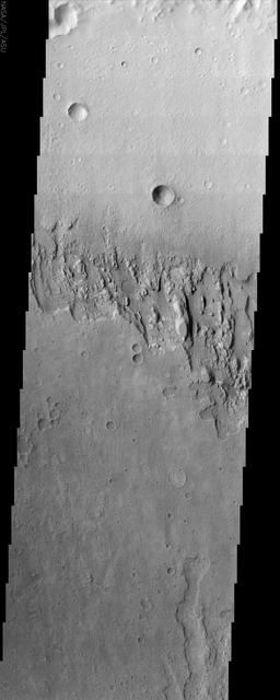
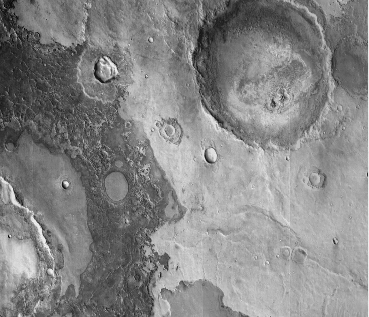
This annotated-composite graphic shows the entry of NASA's Perseverance rover into the "South Séítah" geologic unit from both an orbital and subsurface perspective. The annotated view from NASA's Mars Reconnaissance Orbitor (MRO) depicts the route Perseverance took into Séítah. The image was provided by MRO's High Resolution Imaging Experiment (HiRISE). The graphic below the orbital image is the first "radargram" to be released by the Radar Imager for Mars' Subsurface Experiment (RIMFAX) instrument aboard Perseverance. It shows the subsurface as the rover drove across the "Artuby" ridgeline.…