关于这张图
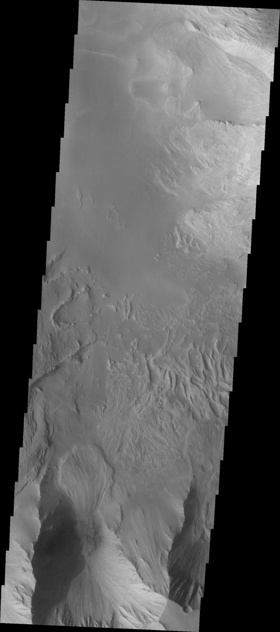
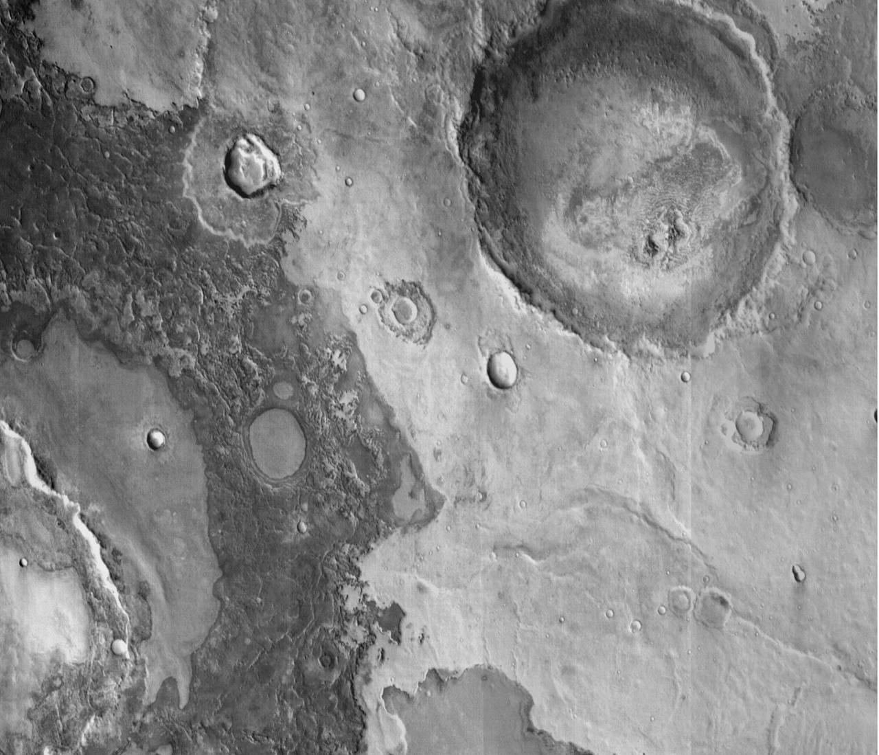
This image shows part of eastern Candor Chasma. At the bottom of the image is the steep cliff between the upper surface elevation and the depths of Candor Chasma. The small lobate feature at the base of the cliff in the bottom of the image is a landslide deposit formed by failure of the cliff face and gravitational downslope movement of the material. Candor Chasma is one of the largest canyons that make up Valles Marineris. It is approximately 810 km long (503 miles) and has is divided into two regions - eastern and western Candor. Candor is located south of Ophir Chasma and north of Melas Ch…