关于这张图
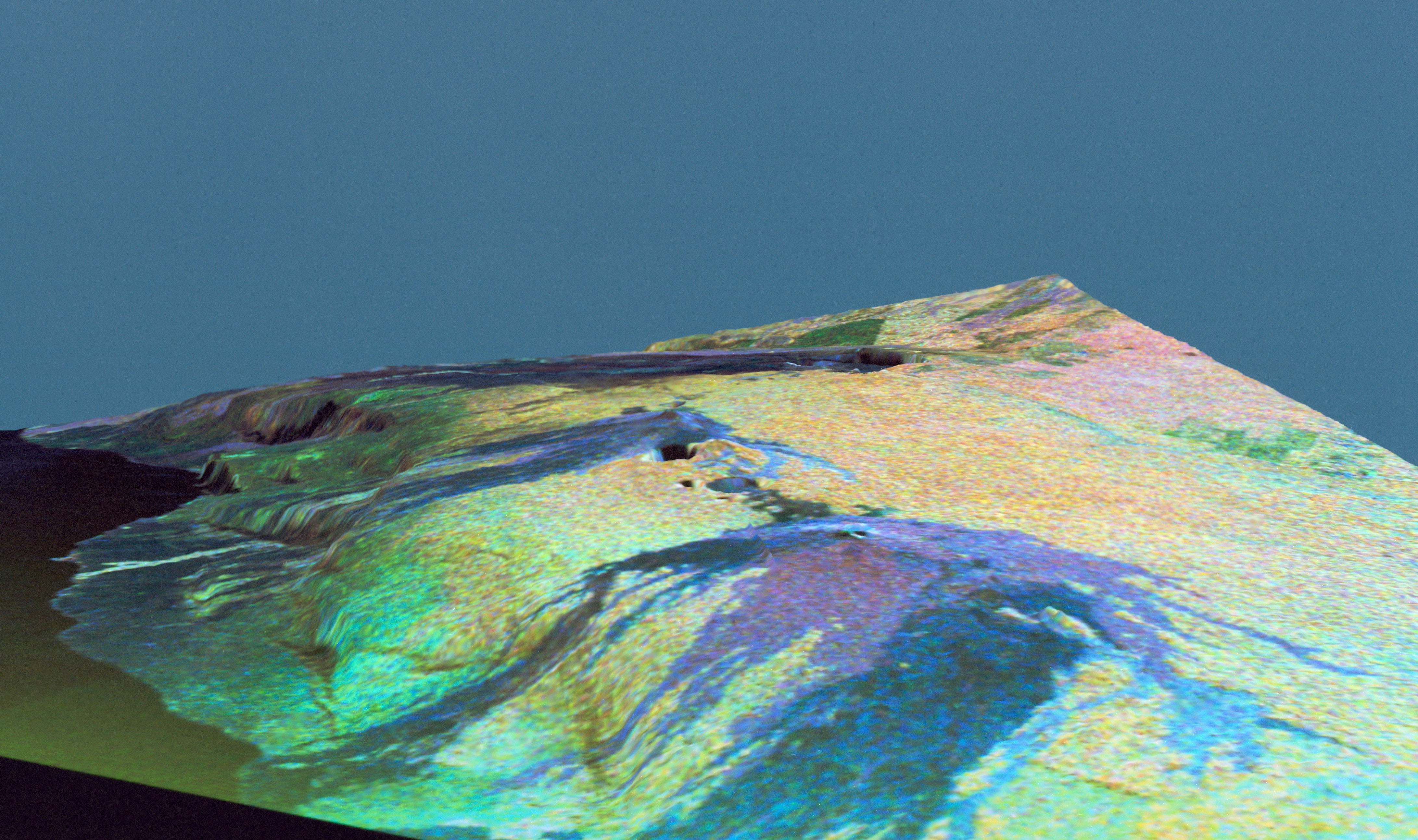
This is a three dimensional perspective view of false-color image of the eastern part of the Big Island of Hawaii. It was produced using all three radar frequencies C-Band and L-Band. This view was constructed by overlaying a SIR-C radar image on a U.S. Geological Survey digital elevation map. The image was acquired on April 12, 1994 during the 52nd orbit of the Shuttle Endeavour by the Spaceborne Imaging Radar-C and X-Band Synthetic Aperture Radar (SIR-C/X-SAR). The area shown is approximately 34 by 57 kilomters with the top of the image pointing toward north-west. The image is centered at ab…